
Metro Manila, Philippines – The weather bureau is tracking two low-pressure areas (LPA), including one inside the Philippine Area of Responsibility (PAR).
In an 8 a.m. bulletin, the Philippine Atmospheric, Geophysical and Astronomical Services Administration (PAGASA) said the LPA inside PAR is “unlikely to develop into a tropical depression.”
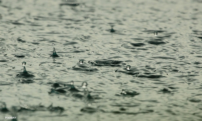
It was last located 670 kilometers (km) east of Hinatuan, Surigao del Sur and may bring rains in some parts of Eastern Visayas and Caraga as it crosses southern Philippines.
Meanwhile, the tropical depression outside the PAR was 2,395 km east of northeastern Mindanao.
The weather bureau said it packed maximum winds of 55 km per hour (kph) and gustiness up to 70 kph. On Wednesday morning, it was seen slowly moving westward as it maintained its strength.
PAGASA said the weather system may enter the PAR between Friday evening and Saturday morning and will be assigned the local name Caloy once it develops into a tropical depression.
Meanwhile, Filipinos are struggling to beat the heat as PAGASA logs seven areas under the danger level heat index.
These are Tacloban City (45°C), Cuyo, Palawan (43°C), La Carlota City (43°C), Aparri, Cagayan (42°C), Bacnotan, La Union (42°C), Iloilo City (42°C), and Virac, Catanduanes (42°C).
PAGASA also warned that warm and humid conditions will persist in Metro Manila and the rest of the country due to the easterlies from the Pacific Ocean.