
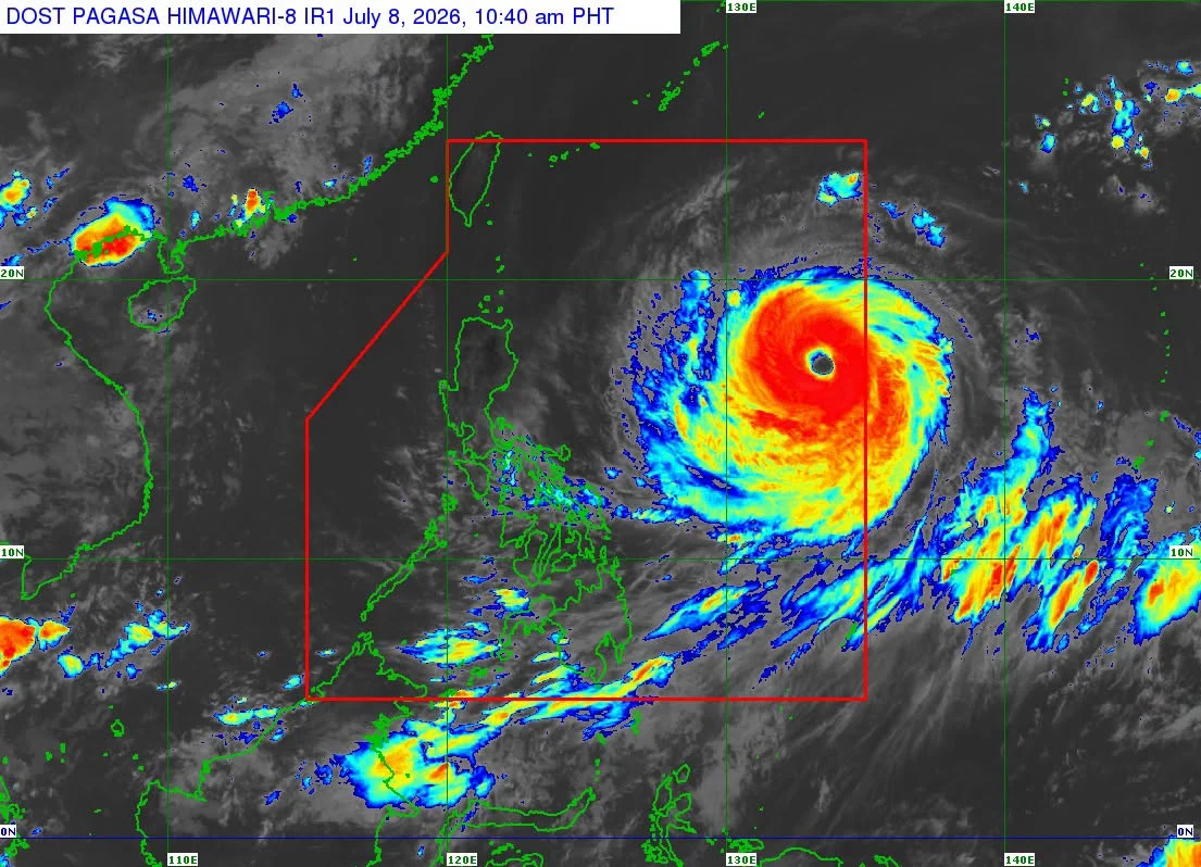


Metro Manila, Philippines – Super Typhoon Inday slightly intensified on Wednesday, July 8, as it continued moving west northwestward over the Philippine Sea east of northern Luzon, according to the state weather bureau.
The Philippine Atmospheric, Geophysical and Astronomical Services Administration (PAGASA) said Inday’s maximum sustained winds increased to 195 kilometers per hour (kph) from 185 kph earlier in the day, with gusts of up to 240 kph.
As of 10 a.m., the center of the typhoon’s eye was estimated at 1,270 kilometers east of northern Luzon, moving west northwestward at 20 kph.
Tropical Cyclone Wind Signal (TCWS) No. 1 is raised over Batanes, Cagayan including the Babuyan Islands, Apayao, Kalinga, Isabela, Ilocos Norte, and portions of Aurora, Catanduanes, Quirino, Ifugao, Mountain Province, and Abra.
PAGASA said the enhanced southwest monsoon, or habagat, and the typhoon’s outer circulation will continue to bring strong to gale-force gusts across large parts of the country.
Inday is forecast to continue moving generally west northwestward before turning northwestward over the Philippine Sea.
It may come closest to extreme northern Luzon on Friday, July 10, before moving toward the southern islands of Japan and the waters north of Taiwan.
The typhoon is expected to exit the Philippine Area of Responsibility (PAR) on Saturday, July 11.
While Inday is expected to gradually weaken beginning Thursday evening, PAGASA said it will likely remain a typhoon throughout the rest of the forecast period.