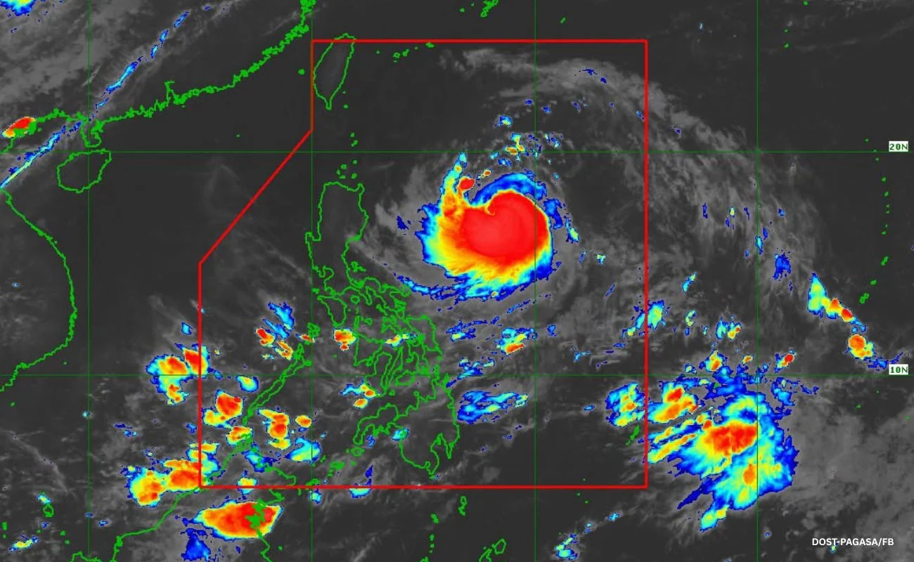

Metro Manila, Philippines — Typhoon Francisco is nearing super typhoon strength and is forecast to reach that category within the next 12 hours, according to the Philippine Atmospheric, Geophysical and Astronomical Services Administration (PAGASA).
While Francisco is expected to remain far from landmass, the agency said its outer bands and the southwest monsoon may bring strong to gale-force gusts in parts of the country.
In its 5 p.m. bulletin on Monday, June 22, PAGASA said Tropical Cyclone Wind Signal (TCWS) No. 1 remains in effect over Batanes; the northeastern portion of Cagayan, particularly Gonzaga and Santa Ana; and the eastern portion of the Babuyan Islands.
The state weather bureau said TCWS No. 2 is the highest wind signal likely to be raised during the passage of Francisco.
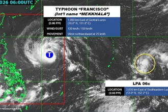
As of 4 p.m., the typhoon’s eye was estimated at 625 kilometers east of Tuguegarao City, Cagayan. It was packing maximum sustained winds of 175 kilometers per hour (kph) near the center, with gusts reaching up to 215 km/h.
PAGASA said Francisco is forecast to move generally northwestward until Tuesday, June 23, before slowing down and curving north-northeastward toward the Ryukyu Islands in southern Japan.
It is expected to weaken beginning Wednesday, June 24, and is forecast to exit the Philippine Area of Responsibility on Friday, June 26.