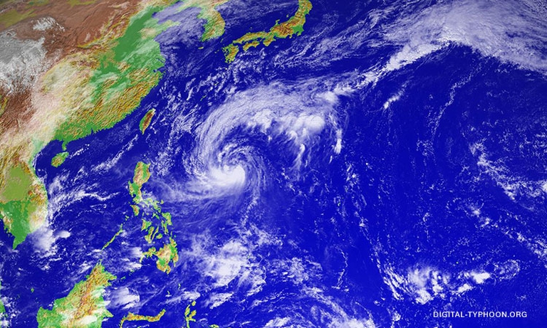

Metro Manila (CNN Philippines, October 26) – Quedan has intensified into a severe tropical storm on Thursday, and is expected to bring rains to eastern Luzon as it hovers over the Philippine Sea.
The Philippine Atmospheric Geophysical and Astronomical Services Administration (PAGASA) said Quedan (international name: Saola) was last spotted at 1,155 km east of Aparri, Cagayan as of 10 a.m.
It packs winds of 90 kilometers per hour (kph) and gusts of 115 kph, the state weather bureau said.
PAGASA said Quedan is expected to intensify into a typhoon in the next 36 to 48 hours as it moves toward Japan.
Landfall is also highly unlikely, as it moves northwest at 21 kph, PAGASA said.
No storm signal is raised.
Meanwhile, the intertropical convergence zone – a band of clouds near the equator formed by the meeting of trade winds – is expected to bring rains over Palawan and Mindanao on Thursday, it added.
Earlier, the weather bureau warned of the onset of a weak La Niña phenomenon, indicating more rain and possible floods in the coming months until March 2018.