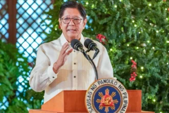


Metro Manila, Philippines – The government will enforce strict traffic and security measures in relation to the 49th Association of Southeast Asian Nations (ASEAN) Summit and Related Summits next week.
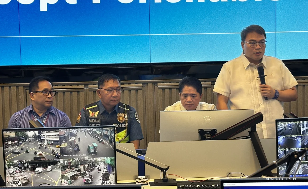
In a press conference on Wednesday, Nov. 11, the Metropolitan Manila Development Authority (MMDA) said there will be no road closures aside from the four roads within the perimeter of the Philippine International Convention Center (PICC) and the Cultural Center of the Philippines (CCP) complex in Pasay City.
The roads that will remain closed until Nov. 15 are Atang Dela Rama St., Vicente Sotto St., Pedro Bukaneg St., and Magdalena Jalandoni St.
Victor Nuñez, MMDA Traffic Enforcement Group and Traffic Discipline Office director, said only vehicles with the ASEAN sticker and authorized personnel will be allowed entry to the PICC complex.
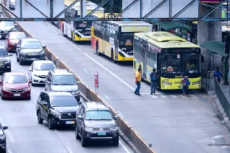
The MMDA added that it will implement a stop-and-go scheme on certain roads and major roads to give way for the convoys of the heads of state.
The agency also said it will temporarily suspend the vehicle license plate or number coding from Monday, Nov. 16, to Wednesday, Nov. 18, citing Malacañang’s declaration of special non-working days in Metro Manila.
In addition, the MMDA listed alternate routes and truck routes from Nov. 15 to 18:
Alternate Routes
- Southbound (along Roxas Blvd. going to Diokno Blvd. and Macapagal Blvd.)
- Right on EDSA
- Right on Diokno Blvd.
- Right on Macapagal Blvd.
- Northbound (along Diokno Blvd. and Macapagal Blvd. going to Roxas Blvd.)
- Right on Seaside Blvd.
- Right on Macapagal Blvd.
- Left on EDSA.
- Left on Roxas Blvd.
Truck routes (northbound)
- From the port area to North Diversion Road
- From the pier zone, northward on Road 10, Capulong Street, towards Raxabago St., Yuseco St., Right F. Huertas, Right C3 to destination
- From North Diversion Road to Port Area
- From A. Bonifacio St., right C3, left R-IO to Pier zone
- From A. Bonifacio St., right Blumentritt, left Aurora, A. H. Lacson St., straight Tayuman St., right Oroquieta St., left Yuseco St., straight Raxabago St., to Capulong Street, left R-10 to Pier Zone, traversing through these streets and that all bound to either pier shall display a visible sign on its front windshield or point of destination
Truck routes (southbound)
- From the port area to Pres. Sergio Osmeöa Highway (former South Superhighway)
- Bonifacio Drive left P. Burgos Road, Finance Road straight Ayala Blvd. Right San Marcelino, Left Pres. Quirino Ave., right to Osmeña Highway to destination
- From Pres. Quirino Highway to port area (South Pier)
- Pres. Osmeña Highway, Right Pres. Quirino Ave. (Plaza Dilao), left United Nations Ave., right, Romualdez Street, left Ayala, Finance Road, Left P. Burgos St., Right Bonifacio Drive to Pier South
- From Pres. Quirino Highway to Manila North Harbor
- Pres. Osmeña Highway, right on Pres. Quirino Avenue, straight to Nagtahan, A. H. Lacson St., right Yuseco, Straight Raxabago St., straight towards Capulong St., left Road 10 to Pier North