
Metro Manila (CNN Philippines, August 1) – Typhoon Falcon (international name: Khanun) has exited the Philippine Area of Responsibility (PAR) on Tuesday afternoon, but the enhanced southwest monsoon may still bring occasional rains over some parts of Luzon in the next three days, the state weather bureau said.
In its 5 p.m. bulletin on Tuesday, the Philippine Atmospheric, Geophysical and Astronomical Services Administration (PAGASA) said moderate to heavy rains are still expected over Metro Manila, Cavite, Pangasinan, Pampanga, Bulacan, Occidental Mindoro, and the northern portion of Palawan.
PAGASA weather specialist Loriedin de la Cruz-Galicia said the center of the typhoon was last spotted 800 kilometers northeast of extreme North Luzon. It is forecast to move further away from PAR in the next 24 hours.
Galicia said this will be PAGASA’s final bulletin for Typhoon Falcon unless a re-entry occurred.
“Hindi po natin niru-rule out na maari ulit itong pumasok sa ating PAR dahil malapit lamang ito sa PAR line,” she said.
[Translation: We are not ruling out that it can re-enter our PAR because it is close to the PAR line.]
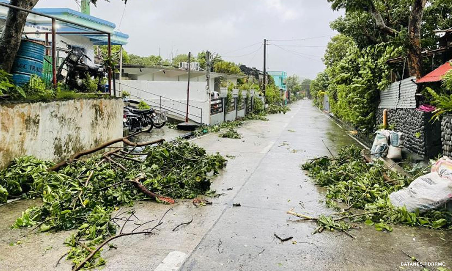
Meanwhile, PAGASA said a gale warning is still raised over Batanes and the northern coast of Cagayan, including the Babuyan Islands.
“Hindi pa rin puwedeng pumalaot ang maliliit na sasakyang pandagat dahil magiging maalon hanggang sa napaka-alon pa rin ang kondisyon ng karagatan sa extreme Northern Luzon,” the weather specialist added.
[Translation: Small vessels still cannot sail because sea conditions in extreme Northern Luzon will be rough to very rough.]
The weather bureau added that gusty conditions are expected over Batanes, Babuyan Islands, Abra, Benguet, Zambales, Bataan, the central and southern portions of Aurora, Pampanga, Bulacan, Metro Manila, and most of Ilocos Region, Calabarzon, Mimaropa, Bicol Region, and Western Visayas.