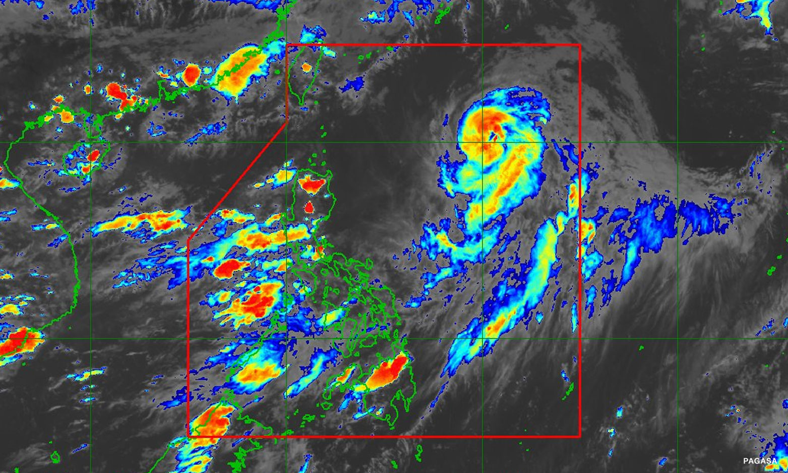


Metro Manila (CNN Philippines, June 10) — Typhoon Chedeng has weakened and could be downgraded into a severe tropical storm within the next 36 hours, the state weather bureau reported Saturday evening.
Chedeng was last located 910 kilometers east of extreme northern Luzon, moving north northeastward at 15 kilometers per hour (kph).
It is expected to leave the Philippine Area of Responsibility late Sunday evening or early Monday morning, according to the 11 p.m. bulletin of the Philippine Atmospheric, Geophysical and Astronomical Services Administration (PAGASA).
The tropical cyclone was seen packing maximum sustained winds of 140 kph near the center and gustiness of up to 170 kph.
Chedeng may still enhance the southwest monsoon or habagat, but remains unlikely to directly bring heavy rainfall over the country.
The enhanced habagat could bring cloudy skies with scattered rainshowers and thunderstorms over Metro Manila, Pangasinan, Zambales, Bataan, Cavite, Batangas, Occidental Mindoro, Palawan, and Western Visayas.
Gusty conditions or bursts of winds may also be experienced in parts of Metro Manila, Calabarzon, Mimaropa, Bicol Region, Zambales, Bataan, Visayas, Camiguin, and Dinagat Islands.
Chedeng was forecast to move north northeastward until Sunday afternoon before accelerating northeastward towards the sea southeast of Japan and east of the Ryukyu Islands.