
Metro Manila (CNN Philippines, May 4) — Another low pressure area (LPA) has been spotted 1,350 kilometers east of Mindanao and is expected to enter the Philippine Area of Responsibility (PAR) this Sunday, the Philippine Atmospheric, Geophysical and Astronomical Services Administration (PAGASA) said Thursday.
According to PAGASA weather specialist Aldczar Aurelio, this LPA is not likely to affect the weather in the Visayas and Mindanao until it enters the PAR on Sunday.
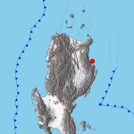
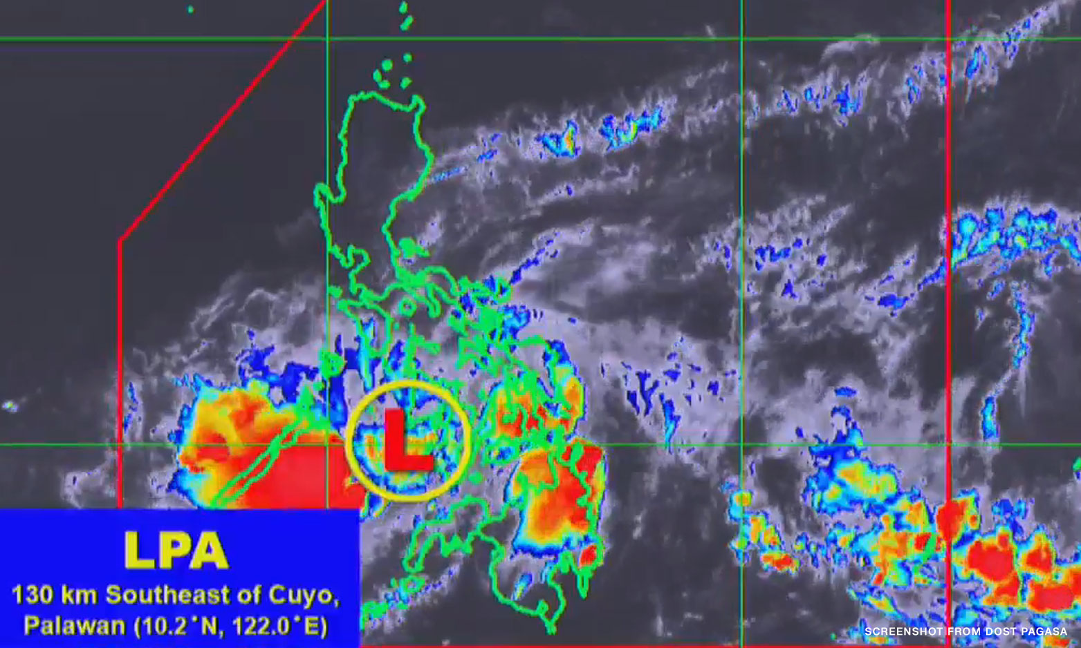
An LPA already within the PAR was seen 125 km east of Puerto Princesa. It may develop into a tropical depression in the coming days, the state weather bureau added.
If it does, it will be named “Betty,” the second tropical cyclone to enter the country.
Currently, it is bringing light to moderate rains over the southern portion of Luzon and parts of the Visayas and Mindanao, PAGASA said.
The state weather bureau has issued general flood advisories for affected areas, namely Mimaropa, Bicol Region, Western Visayas, Central Visayas, Eastern Visayas, Zamboanga Peninsula, Northern Mindanao, Davao Region, SOCCSKSARGEN, Caraga, and Bangsamoro region.
Residents living near mountain slopes and in low-lying areas were advised to take precautionary measures.
Some local government units, like Bacolod and Iloilo City, announced class suspensions for Thursday,
’18’: ‘contentWidth’: ‘fit-content’ ’embedCode’: ‘
Some local government units in the Visayas have suspended classes for Thursday, May 4, due to inclement weather.
Follow this thread for #WalangPasok updates 👇🏽 pic.twitter.com/PAZK2HbLSs
— CNN Philippines (@cnnphilippines) May 3, 2023