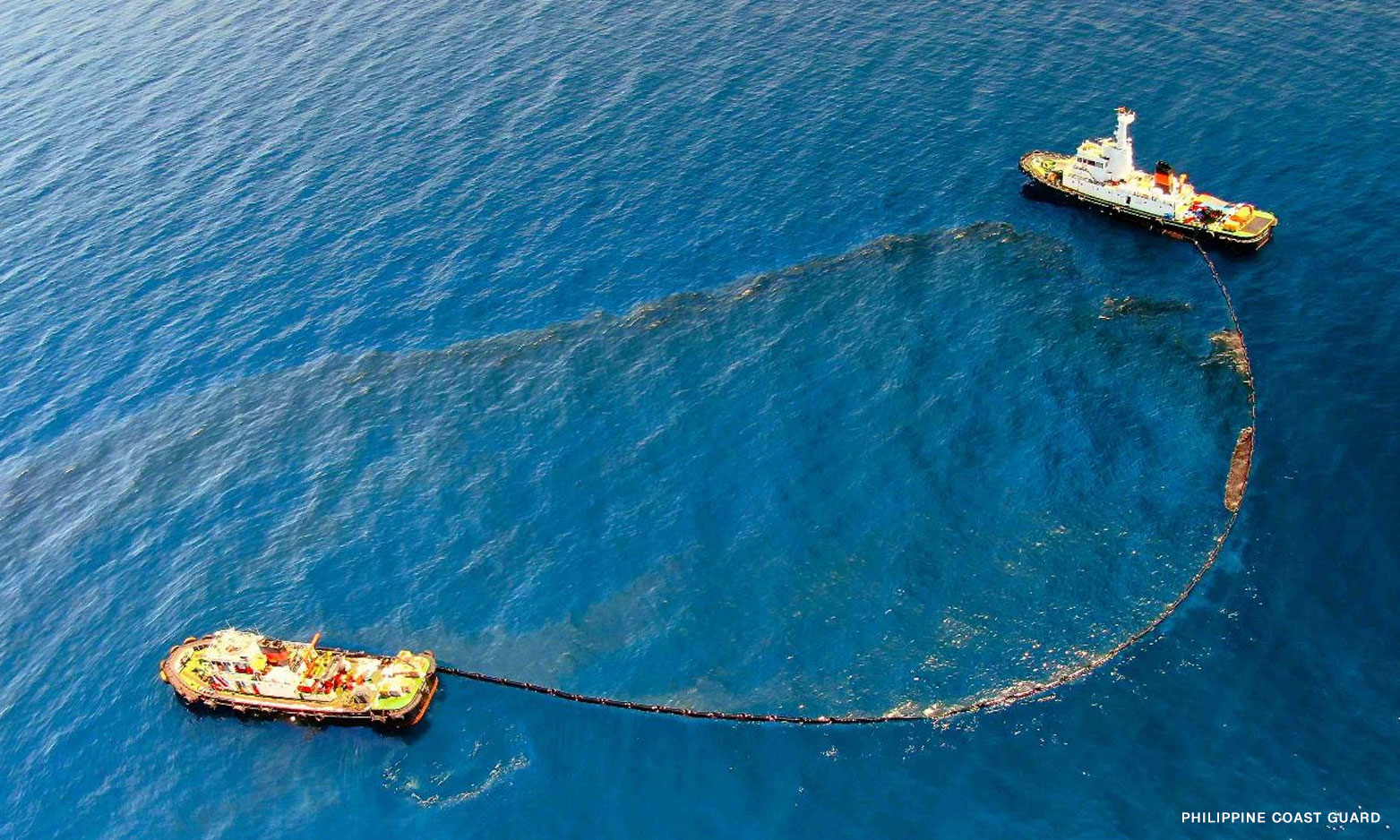

Metro Manila (CNN Philippines, April 3) — A recent map from a United States agency shows traces of oil spill from Oriental Mindoro reaching Coron, Palawan, the Philippine Space Agency (PhilSA) reported on Monday.
The US National Oceanic and Atmospheric Administration (NOAA) supplied the map through the International Charter Space and Massive Disasters (Charter), which showed slicks reaching the island of Coron that covered a total of about 61.27 square kilometers.
The PhilSA said the map is still subject to field validation.’ ‘3’: ‘contentWidth’: ‘fit-content’ ’embedCode’: ‘
LOOK: The latest maps from PhilSA and @NOAA based on satellite images taken on various dates from 26 March to 02 April that show the possible extent of the oil spill from M/T Princess Empress in Oriental Mindoro. pic.twitter.com/p7xguiYQe4
— Philippine Space Agency (@PhilSpaceAgency) April 3, 2023