
Metro Manila (CNN Philippines, December 14)— The low pressure area (LPA) off Mindanao is expected to enter the Philippine area of responsibility this weekend, state seismologists said Thursday.
The Philippine Atmospheric, Geophysical and Astronomical Services Administration (PAGASA) said that the cloud cluster or the easterlies was last seen 1,865 kilometers east of southeastern Mindanao.
According to Pagasa Weather Specialist Patrick Del Mundo, this LPA has a low chance of developing into a typhoon in the next two days.
He, however, advised the public to still be prepared because it may bring rains in the eastern part of Visayas and Mindanao.
“\”Itong low pressure area na ito, mababa pa rin ‘yung tsyansa na maging bagyo sa susunod na mga dalawang araw, bagama’t inaasahan natin na posible itong pumasok sa ating Philippine area of responsibility sa araw ng Sabado, at pagdating nga ng Linggo, ay maaari lumapit sa may silangang bahagi ng Mindanao,” Del Mundo said in a live weather update.
[Translation: This LPA has a low chance of developing into a typhoon in the next two days, however, we are expecting that this may enter the Philippine area of responsibility this Saturday. On Sunday, this may move to the eastern side of Mindanao.]
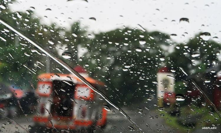
Meanwhile, PAGASA said in its 4 a.m. public weather forecast that the northeast monsoon will be affecting Luzon and the easterlies will be affecting the rest of the country.
Cagayan Valley, Aurora, Quezon, Camarines Norte, Camarines Sur, and Catanduanes will have cloudy skies with light rains caused by the northeast monsoon but will have no significant effect.
Metro Manila and the rest of Luzon will have partly cloudy to cloudy skies with isolated light rains caused by the northeast monsoon and will have no significant impact as well.