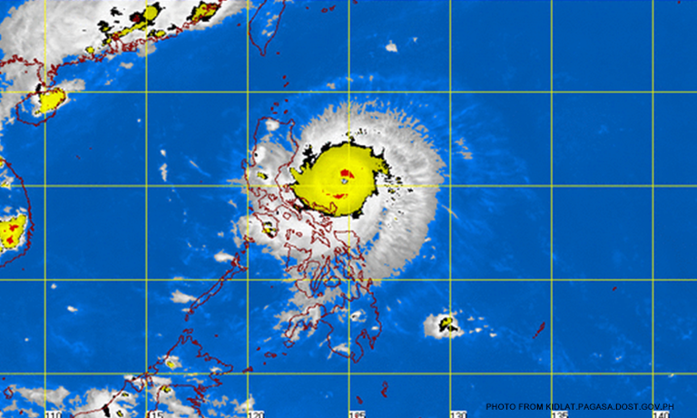

(CNN Philippines) — Typhoon Dodong (internationally known as Noul) has accelerated and grown stronger as it moves closer to Santa Ana, Cagayan.
In its 11 a.m. update on Sunday (May 10), the weather bureau said Dodong is expected to make landfall over Santa Ana by Sunday afternoon or evening.
As of 10 a.m. on Sunday, Dodong’s center was located at 140 km east southeast of Tuguegarao City.
It has maximum sustained winds of 185 kph near the center and gustiness of up to 220 kph.
PAGASA said storm surges of up to 2 meters are possible over Gonzaga and Santa Ana, Cagayan.
Public Storm Signal No. 4 is up over
northeastern Cagayan
Batanes
Calayan and Babuyan group of islands
Public Storm Signal No. 3 is up over the rest of Cagayan and Isabela.
Public Storm Signal No. 2 is up over
northern Aurora
Kalinga
Mountain Province
Ifugao
Apayao
Public Storm Signal No. 1 is up over
rest of Aurora
Abra
Ilocos Sur
Ilocos Norte
Quirino
Public Storm Signal warnings elsewhere have been lifted.
Dodong is forecast to move west northwest at 20 kph and is expected to be out of Philippine territory by Tuesday morning (May 12).