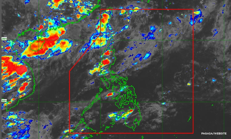

Metro Manila, Philippines – A low pressure area (LPA) is inside the weather disturbance monitoring zone, the state weather agency said on Friday, Aug. 16.
According to the Philippine Atmospheric Geophysical and Astronomical Services Administration (PAGASA), the LPA is unlikely to become a tropical cyclone and may leave the Philippine Area of Responsibility (PAR) this weekend.
Based on PAGASA’s 24-hour forecast released Friday, 4 p.m., the southwest monsoon will bring partly cloudy to cloudy skies with isolated rain showers or thunderstorms over Batanes and the Babuyan Islands.
The rest of the country, meanwhile, will have pockets of thunderstorms.
PAGASA said flash floods or landslides may happen in severe thunderstorms.
The LPA was spotted 290 kilometers north northeast of Itbayat, Batanes as of 3 p.m., and it is not affecting parts of the country.
NewsWatch Plus correspondent Daniza Fernandez contributed to this report.