
RELATED: PAGASA sees possible storm formation in next 2 weeks
Metro Manila (CNN Philippines, July 15) — Tropical Storm Dodong exited the country’s weather monitoring area Saturday afternoon, the state weather bureau said in its latest bulletin.
Storm signals were lifted by the Philippine Atmospheric, Geophysical and Astronomical Services Administration (PAGASA) early Saturday morning.
The agency said Dodong will not directly bring heavy rainfall to any area in the country but it is enhancing the southwest monsoon or habagat.
It cautioned the western portion of the country that monsoon rains would probably last until next week even if Dodong has left the Philippine Area of Responsibility (PAR) over the weekend.
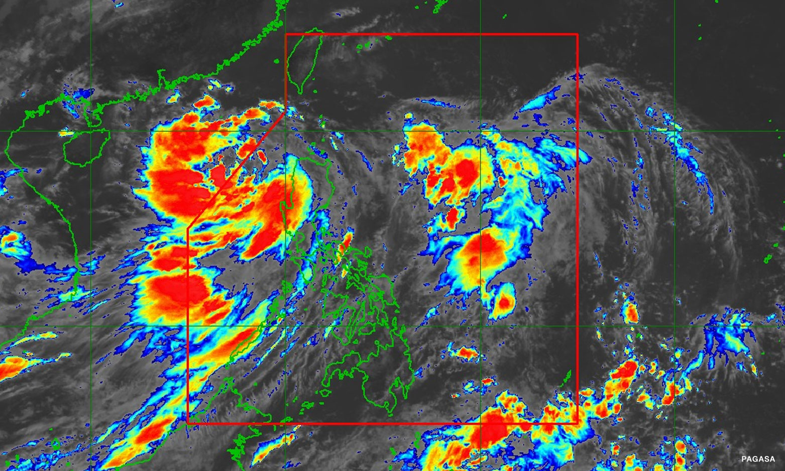
LOOK: PAGASA shows areas that may experience light to moderate with at times heavy rains until Monday.
These areas are Pangasinan, La Union, Zambales, Bataan, Occidental Mindoro, and Antique. @JeloMantaring
| LIVE https://t.co/7nYdghQWa3 pic.twitter.com/GeiBBbI6e2— CNN Philippines (@cnnphilippines) July 15, 2023
PAGASA said Pangasinan, La Union, Zambales, Bataan, Occidental Mindoro, and Antique may experience light to moderate with at times heavy rains due to the enhanced habagat until Monday.
“Posible pa rin na magtaas ng rainfall advisories at heavy rainfall warnings dito sa mga nabanggit na lugar,” weather specialist Benison Estareja earlier said in a briefing.
PAGASA also said gusty conditions due to the strengthened habagat will be felt in areas of Ilocos Region, Cordillera Administrative Region, Batanes, the eastern portion of Isabela, Quirino, Nueva Vizcaya, Zambales, Bataan, Bulacan, Pampanga, Aurora, Metro Manila, Calabarzon, Mimaropa, Bicol Region, and Western Visayas.
Estareja warned authorities of possible floods and rain-induced landslides.
He also said a marine gale warning is in effect over the western seaboards of Ilocos Region, Zambales, Bataan, Occidental Mindoro, and Palawan.
Rains to persist next week
Dodong was last seen 305 kilometers west of Sinait, Ilocos Sur as of 4 p.m. on Saturday.
The storm was packing maximum sustained winds of 65 kilometers per hour (kph) near the center and gustiness of up to 80 kph. It is moving southeastward at a slow pace
PAGASA earlier said the tropical cyclone is expected to turn into a severe tropical storm outside PAR on Sunday afternoon then into a typhoon the next day before hitting the southern portion of China.
As this is the case, the weather disturbance will continue to enhance the habagat and is seen to bring strong bursts of winds to the western Philippine areas, namely Ilocos Region, Zambales, Bataan, Cavite, Mimaropa, Bicol Region, Western Visayas, and the southern portion of Quezon.
“Kapag mas malakas ang isang bagyo, mas may hahatakin ito na habagat or southwest monsoon kaya asahan pa rin ang epekto ng habagat sa mga susunod na araw kahit nakalabas na ng Philippine Area of Responsibility (PAR) itong si bagyong Dodong,” Estareja said.
[Translation: If the storm is stronger, it will pull the southwest monsoon further so expect the effects of the monsoon for the next couple of days even if Dodong has exited the PAR.]
Estareja added that cloud clusters seen in the east of Luzon and outside of the country’s weather monitoring area by the east of Mindanao may possibly turn into a low pressure area.