
Metro Manila (CNN Philippines, April 10) — The low pressure area (LPA) the state weather bureau is currently monitoring entered the country’s area of responsibility early Monday morning, the Philippine Atmospheric, Geophysical and Astronomical Services Administration (PAGASA) said.
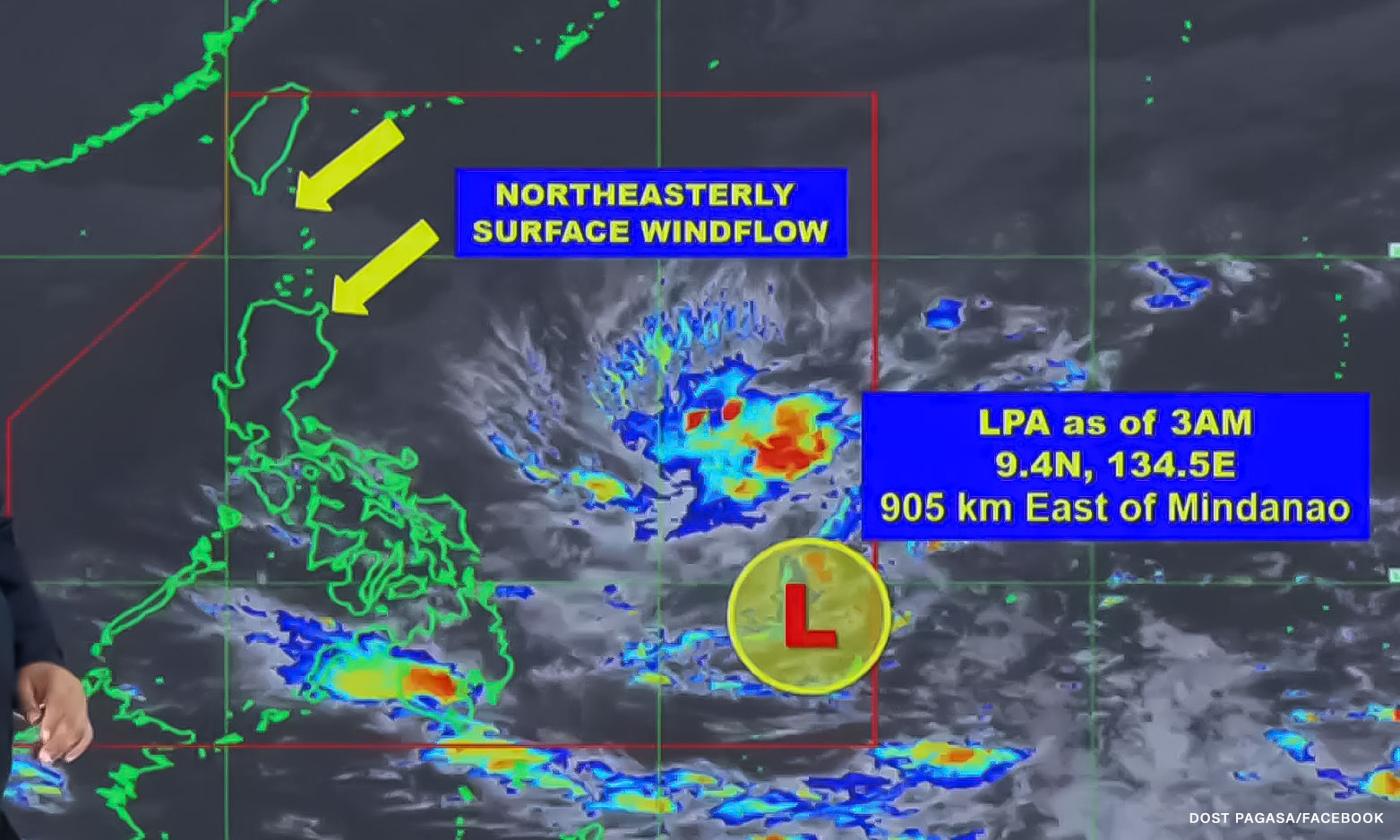
In a 4 a.m. update, PAGASA weather specialist Obet Badrina said the LPA entered the Philippine area of responsibility around 2 a.m.
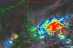
It was last spotted 890 kilometers east of Visayas, the agency said in an 11 a.m. advisory.
“This weather disturbance may develop into a tropical depression as it moves generally westward towards southern Luzon-Visayas area over the Philippine Sea,” PAGASA added.
If it does, the weather system will be named “Amang,” the first cyclone this year.
Speaking to CNN Philippines, PAGASA weather forecaster Dan Villamil said whether or not the LPA will intensify, it will still bring significant amounts of rainfall over southern Luzon and Eastern Visayas.
PAGASA also said the weather system is projected to move closer to the Quezon-Aurora area. For now, the LPA’s trough will bring cloudy skies with scattered rain showers and thunderstorms over Eastern Visayas and Caraga.
PAGASA warned of flooding and rain-induced landslides, especially in high-risk areas.
“For the remainder of this week, due to the continuous westward movement of this low pressure area, we expect cloudy skies with scattered rain showers and thunderstorms over most parts of southern Luzon,” Villamil said.
This includes Metro Manila, Bicol and Calabarzon, he added.
The northeasterly surface windflow, on the other hand, is affecting the eastern portion of northern Luzon. The weather system is seen to bring cloudy skies with scattered rain showers and thunderstorms in Cagayan Valley, he said.