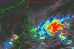

Metro Manila (CNN Philippines, November 13) — The low pressure area monitored outside the Philippine Area of Responsibility (PAR) became a tropical depression on Monday morning, with the state weather bureau warning it could reach typhoon category on Saturday as it heads towards Visayas.
In an advisory issued at 11 a.m., the Philippine Atmospheric, Geophysical and Astronomical Services Administration (PAGASA) said the tropical depression is forecast to enter the PAR late Wednesday or Thursday. It will be called “Kabayan” once it happens.
Based on PAGASA’s current forecast models, the tropical cyclone is projected to reach typhoon category with peak intensity of 120 kilometers per hour (kph) on Saturday.
It may be located in the vicinity of Pinanag-an, Eastern Samar on Saturday morning, the forecast showed.
“The possibility of further intensification prior to its close approach to Eastern Visayas is not ruled out,” the agency warned.
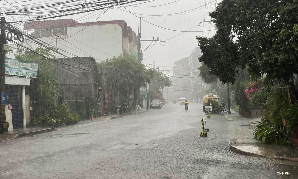
“Current track and intensity forecast shows that there is a high likelihood that Tropical Cyclone Wind Signals will be hoisted over eastern portions of Visayas and Mindanao,” PAGASA said. “The passage of this tropical cyclone over Eastern Visayas may bring heavy rainfall over several provinces in Visayas, Mindanao, and Bicol Region beginning Friday (17 November).”
PAGASA advised the public and disaster officials to continue monitoring for updates about the storm. The bureau’s next advisory is expected at 11 p.m.
The weather disturbance turned into a tropical depression outside of the PAR, with state meteorologists spotting the center at 1,540 kilometers east of southeastern Mindanao and moving eastward at 20 kph.
According to PAGASA, the tropical cyclone was last seen packing maximum sustained winds of 45 kph, gusts of 55 kph, and central pressure of 1004 Hecto Pascal.
The weather bureau said the tropical depression may gradually accelerate as it approaches the eastern boundary of the PAR.
It added the weather system is seen to have a steady pace on Thursday when it heads towards the waters of Eastern Visayas.