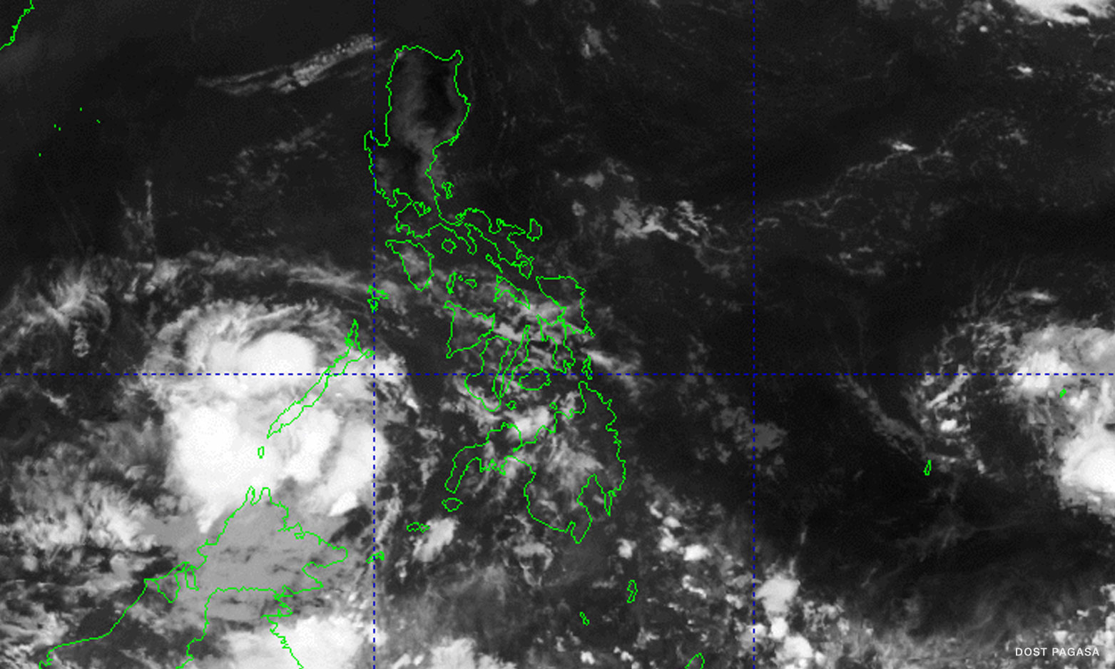

Metro Manila (CNN Philippines, May 6) — The low pressure area (LPA) being monitored by state meteorologists in the vicinity of Puerto Princesa, Palawan is now less likely to turn into a tropical cyclone in the next 24 hours.
In its 11 a.m. update, the Philippine Atmospheric, Geophysical and Astronomical Services Administration (PAGASA) said it saw the LPA an hour before at 215 kilometers west-northwest of Puerto Princesa City. It entered the city’s vicinity on Friday morning.
“This weather disturbance is less likely to develop into a tropical depression in the next 24 hours,” the advisory read.
The LPA is forecast to bring light to moderate with at times heavy rains over Palawan but the weather bureau still warns of possible flash floods or landslides.
PAGASA also told local disaster management officials to “take all necessary measures to protect life and property.”
It said earlier that the rest of the country may expect partly cloudy skies with isolated rain showers or thunderstorms due to easterlies and the intertropical convergence zone (ITCZ) where the northeast and the southeast trade winds converge.
Two LPAs are embedded on the ITCZ but the other one is still outside of the Philippine Area of Responsibility.
It was last located 1,270 kilometers east of Northern Mindanao and may enter the country’s weather monitoring area by Sunday, Del Mundo said.
He added that chances of it developing into a storm remain low.