
Metro Manila (CNN Philippines, November 1) — Tropical depression Ramil maintained strength late Wednesday, dumping moderate to occasionally heavy rains over a 200-kilometer range including northern Palawan and tourist destinations in Mindoro and Boracay, PAGASA said.
As of 7 p.m., Ramil was seen in the vicinity of Busuanga, Palawan, the Philippine Atmospheric, Geophysical and Astronomical Services Administration (PAGASA) said in its 8 p.m. bulletin.
Ramil is moving west at 18 kilometers per hour (kph), packing maximum sustained winds of 55 kph and a gustiness of 75kph.
Tropical Cyclone Warning Signal #1 remains over northern Palawan, including the Calamian Group of Islands, and the southern parts of Occidental Mindoro.
Residents of these areas including Central Luzon, Cagayan Valley Region, northern Quezon including Polillo island, and the rest of Mindoro and Palawan are advised to be alert against possible landslides and flashflood. Sea travel remains risky in all these areas because of Ramil and a surge of the northeast monsoon known as “amihan.”
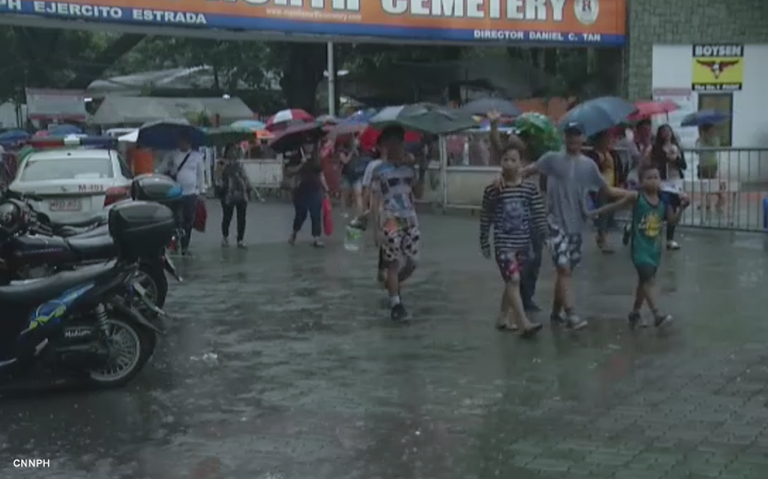
Light to moderate with possible occasional heavy rain will continue to prevail over Metro Manila and the rest of Luzon, PAGASA added. Ramil and the northeast monsoon brought rain throughout most of the Philippines even as milllions flocked to cemeteries nationwide for the All Saints’ Day holiday.
Independent weather forecaster WeatherPh.org said that based on reliable global typhoon forecast models, Ramil may become a tropical storm within the next 24 hours as it moves away from the country across the South China Sea and toward Vietnam.
The tropical depression is expected to exit the Philippine Area of Responsibility by late Thursday or early Friday.