
(CNN Philippines) — The ridge of a high pressure area extended over Luzon as of 4:00 p.m. on Wednesday (May 6), according to a forecast issued at 5:00 p.m. by the Philippine Atmospheric, Geophysical and Astromical Services (PAGASA).
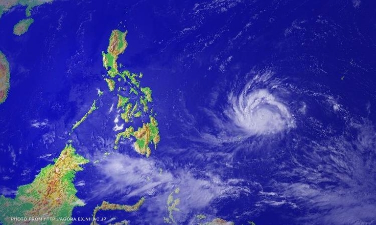
As this developed, PAGASA spotted Tropical Storm Noul still outside Philippine territory at 1,210 km east of Surigao del Norte. It was moving west-northwest at 13 kph, with maximum winds of 100 kph near the center and gustiness of up to 130 kph.
For the next 24 hours, PAGASA forecasts that the entire archipelago will experience partly cloudy to cloudy skies with isolated showers or thunderstorms.
Moderate to occasionally strong winds from the east to northeast will bower over the eastern section of Visayas and of Mindanao. Coastal waters along these areas will be moderate to occasionally rough.
Elsewhere, winds will be light to moderate coming from the southeast and northeast with slight to moderate seas.
Over Metro Manila, the maximum temperature on Wednesday reached 34.2ºC at 1:00 p.m. and the minimum was at 26.6ºC at 6:00 a.m.